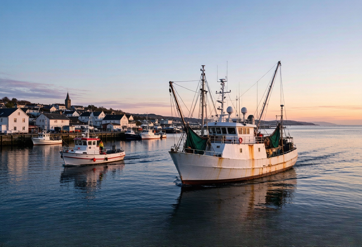
Marine & outdoor operations
Know when outdoor and rental assets move beyond the expected area
Explore fleet and industrial telematics around the real operating environment. Review rental boundaries, late returns and unexpected movement around marinas and remote outdoor work.
Tell us what is difficult todayProblems your team will recognise
What keeps costing time, money or peace of mind?
Start with the calls, delays, missing information and disagreements that happen during a normal working day.
Ordinary cellular GPS loses communication offshore, while vessel monitoring and emergency requirements vary by jurisdiction.
High-value vehicles may travel far beyond the depot, creating mileage, return-zone and theft concerns.
A phone cannot provide dependable emergency communication in many remote areas.
Salt, moisture and exposed mounting shorten the life of unsuitable hardware.
Cellular and satellite coverage are often confused during solution selection.
What changes
See what your team can manage more easily.
Each answer connects one familiar problem to information your team can understand and act on.
Review rental-boat movement beyond the agreed area
What becomes easierRental teams gain clearer journey context and can investigate exceptions sooner.
How it works: Suitable powered or battery hardware can provide position and geofence events; marine exposure and certification must be checked.
Create a specialist tracking path for offshore vessels
What becomes easierOperators gain a realistic route to offshore visibility without presenting a cellular vehicle tracker as a vessel-monitoring system.
How it works: A project-matched marine or satellite terminal can provide offshore communication, geofences and selected emergency events when properly certified.
Keep rented motorhomes visible between handover and return
What becomes easierRental teams gain better handover-to-return visibility and a clearer exception record.
How it works: Wired or discreet battery hardware can add trip and movement records according to the installation policy.
Maintain an emergency communication route beyond mobile coverage
What becomes easierOrganisers gain an additional emergency communication layer designed for remote use.
How it works: A project-matched satellite SOS device can transmit position and an emergency message subject to service coverage and subscription.
Why it matters
Why marine and remote tracking needs careful scoping
Salt, moisture, limited cellular coverage and sector-specific rules make marine projects different from road fleets. The first step is deciding whether the operation needs marina-level cellular visibility, a protected asset tracker or a certified satellite and vessel-monitoring system.
How the information reaches your team
From the device to the platform your team already uses.
Here is the simple explanation first. The technical connection is shown underneath for teams that need it.
Know when a rental boat leaves the agreed area or returns late
Set operating boundaries and review the time and route of unexpected movement.
Technical support: Geofences and movement eventsKeep powered waterfront equipment visible in exposed conditions
Use protected hardware only after checking the vessel's power, mounting position, moisture and salt exposure.
Technical support: Rugged powered trackingFollow waterfront assets that do not have reliable power
Use periodic battery-powered location for selected trailers, equipment and seasonal assets.
Technical support: Battery asset trackingKeep emergency communication beyond mobile coverage
For offshore or remote work, move to approved specialist satellite hardware instead of promising cellular coverage.
Technical support: Project-matched satellite communicationWhat to measure in a trial
Look for changes your team can actually notice.
Measure fewer location calls, quicker answers, clearer records and better-timed action. We do not invent savings percentages before a real pilot.
Review movement outside agreed operating areas
Create a clearer release-to-return journey record
Add a project-appropriate emergency communication layer
Match enclosure and mounting to moisture and salt exposure
Choose cellular or specialist satellite communication honestly
Working with your current operation
Keep the tools and processes that already work.
We match the device to your platform, vehicles, sensors and daily workflow instead of asking your team to start again.
Keep the platform your team already uses
We check whether the device can send the location, status and alarm information your existing system needs before recommending it.
Change settings without recalling every vehicle
Where supported, reporting intervals and selected settings can be adjusted remotely after installation.
Manage vehicles, machines and unpowered assets together
Different device types can be chosen for each asset while their useful information is brought into the platform your team already uses.
Add the information your operation is missing
Supported door, temperature, fuel, driver and machine-data inputs are matched to the events your team actually wants to see.
common operating situations
Find the situation that feels most like yours.
Each example begins with a problem your team may already be dealing with and shows what information could make it easier.
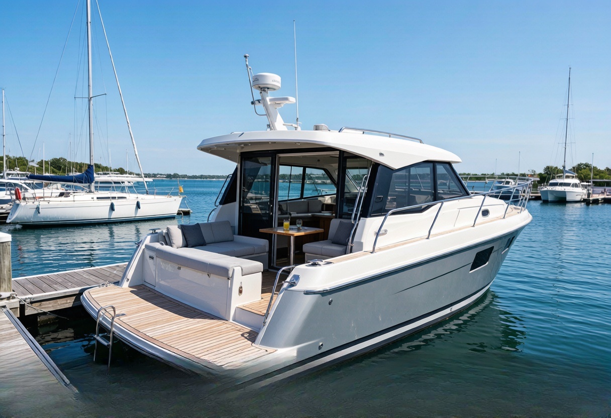
Marine & outdoor operations
Review rental-boat movement beyond the agreed area
Late returns and movement outside agreed areas are difficult to manage when the boat is out of sight.
What becomes easierRental teams gain clearer journey context and can investigate exceptions sooner.
See how it works Marine & outdoor operations
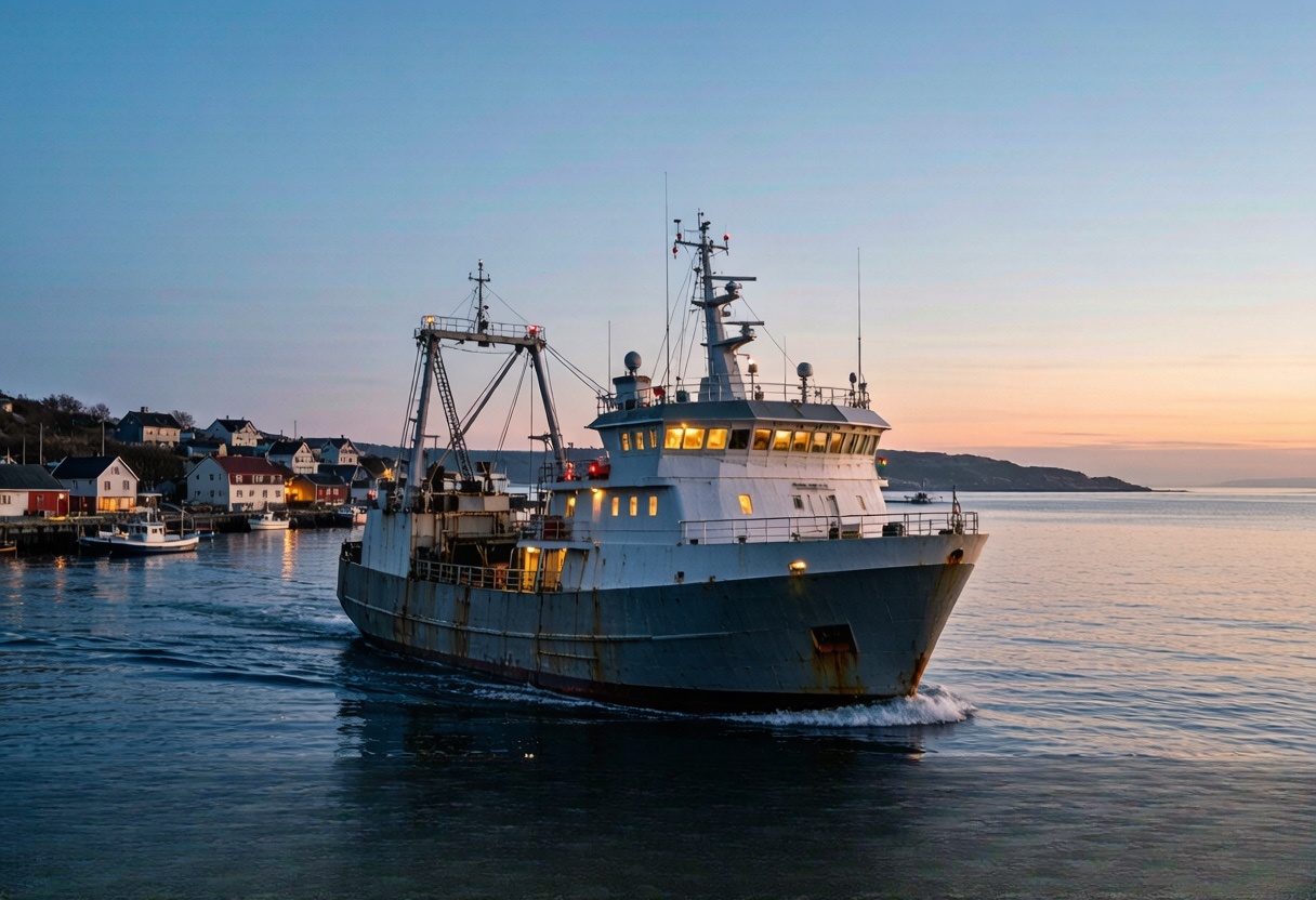
Create a specialist tracking path for offshore vessels
Ordinary cellular GPS loses communication offshore, while vessel monitoring and emergency requirements vary by jurisdiction.
What becomes easierOperators gain a realistic route to offshore visibility without presenting a cellular vehicle tracker as a vessel-monitoring system.
See how it works 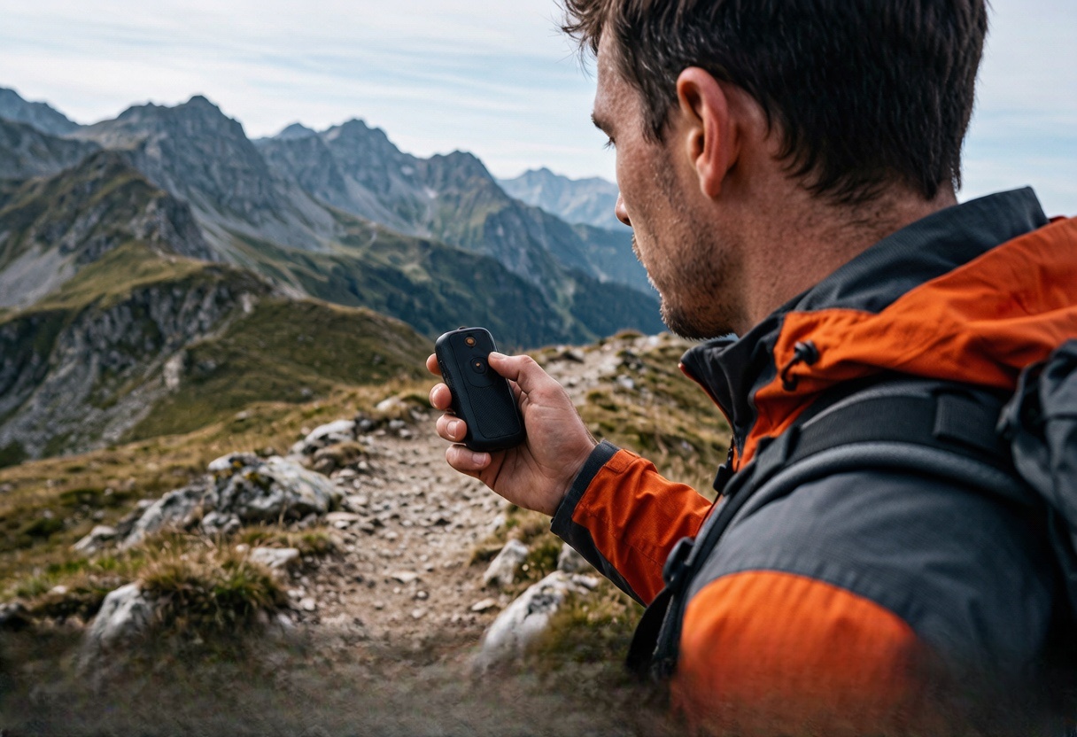
Marine & outdoor operations
Maintain an emergency communication route beyond mobile coverage
A phone cannot provide dependable emergency communication in many remote areas.
What becomes easierOrganisers gain an additional emergency communication layer designed for remote use.
See how it works Hardware that may fit
Start with documented options for this working environment.
2 documented options to compare
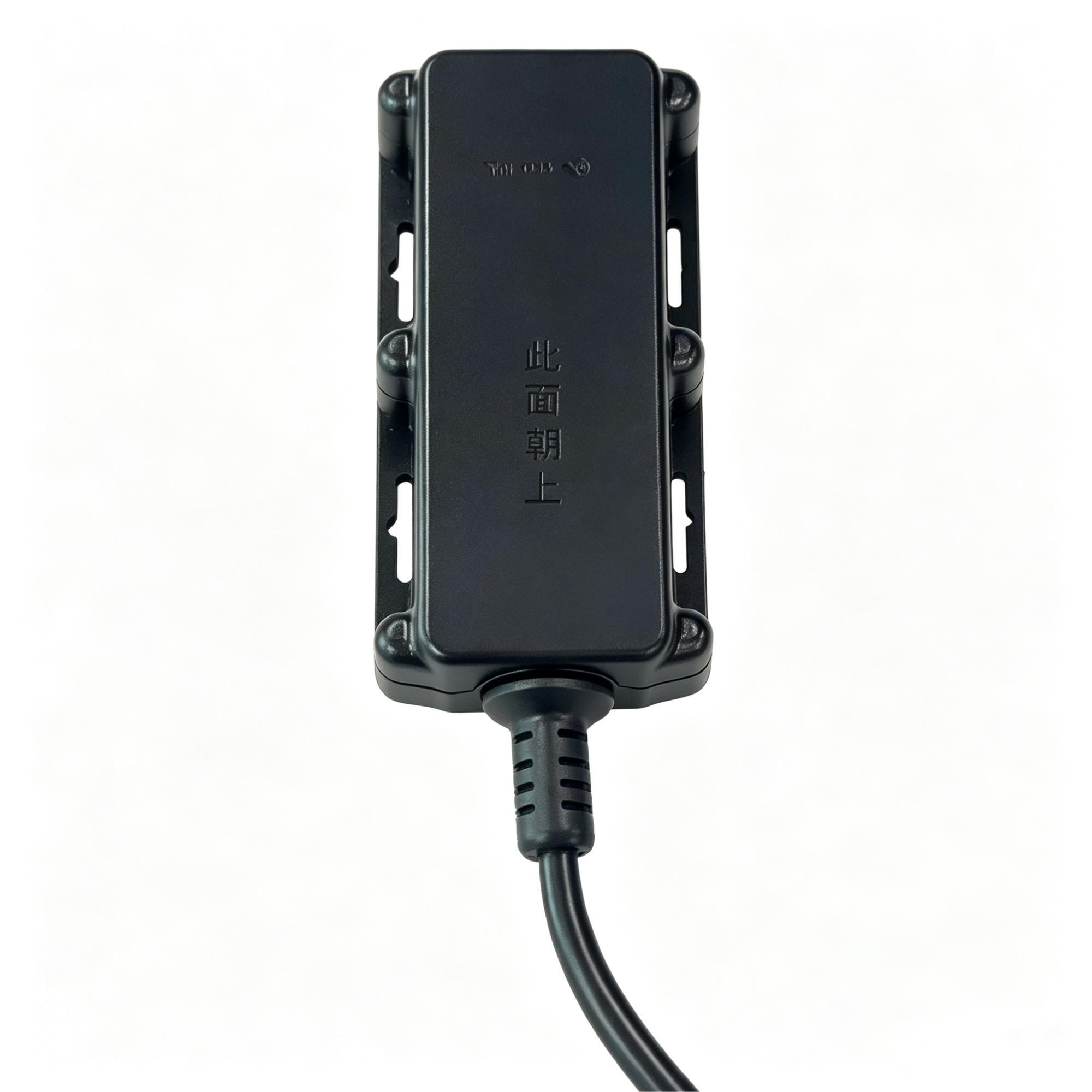
A700
Keep powered outdoor equipment visible without paying for machine-data functions
A protected, wide-voltage tracker for exposed vehicles and equipment that need location, movement and power events, but do not need CAN engine data.
Outdoor equipmentIP67Powered assets
See where it fits 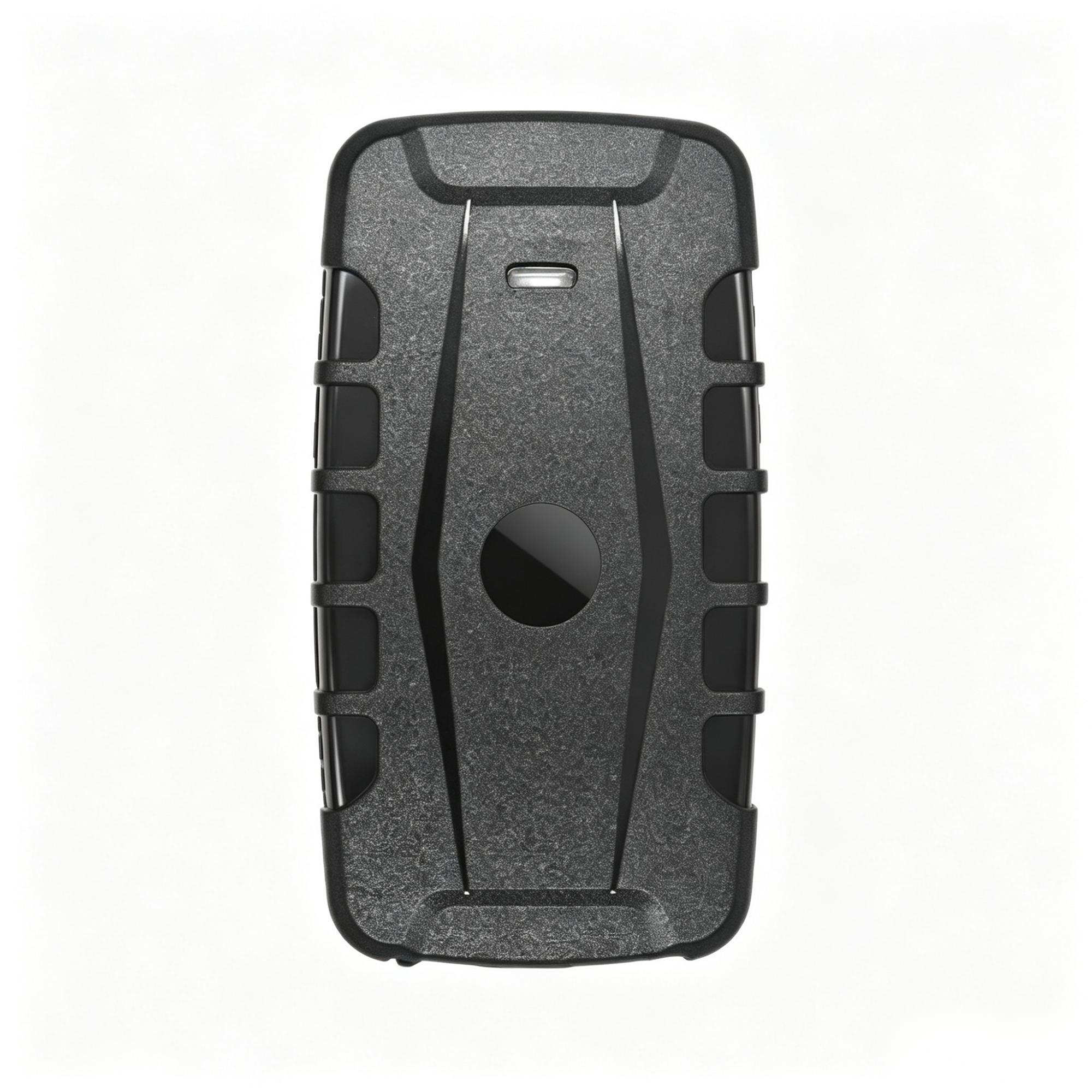
GT76
Find trailers and equipment that have no fixed power connection
A magnetic rechargeable tracker for containers, trailers and temporary equipment that may sit unattended and still need periodic location and movement records.
No fixed powerMagnetic mountingLong dwell time
See where it fits These are candidate models, not an automatic final selection. Network bands, interfaces, approvals, installation and platform fit are confirmed for the exact project.
What needs special attention
Every industry has a different working reality.
Weather, power, vehicle data, coverage and response responsibilities change what a useful solution looks like.
Choose around water, salt, power and mounting
Start with the vessel and installation area instead of a model number.
Know where ordinary mobile tracking stops working
Use cellular hardware near covered areas and specialist satellite equipment when the route goes beyond them.
Plan around the rental season
Include installation, storage, charging and reactivation in the seasonal workflow.
Check the rules before relying on the device
Confirm local marine, radio and emergency requirements for the complete application.
Questions customers usually ask
Clear answers before you spend time on a pilot.
Can A700 be used on every boat?
No. Power, enclosure, corrosion exposure and applicable marine requirements must be reviewed.
Will a cellular tracker work offshore?
Only while compatible cellular coverage is available; offshore operation may need satellite hardware.
Can geofences stop a boat leaving an area?
They can generate platform events but do not physically control the vessel.
Can one solution cover rental boats and personal SOS?
Usually not. Asset tracking and personal emergency communication have different hardware and service requirements.
Build a clearer Marine & outdoor operation.
Discuss the requirementMore working environments